R.I.P. Robert Molner, founder of Wide World of Maps, Inc.
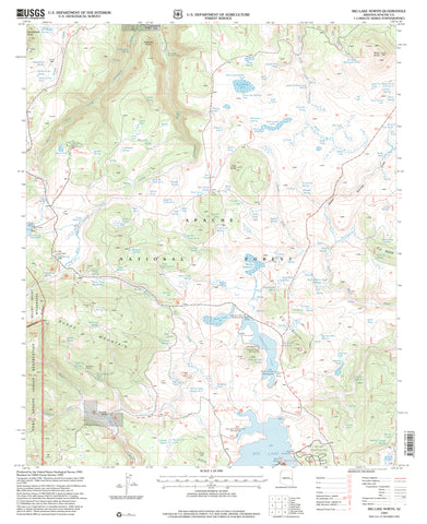
Big Lake North, Arizona (7.5'×7.5' Topographic Quadrangle)
United States Department of the Interior
$ 20.95 $ 15.95
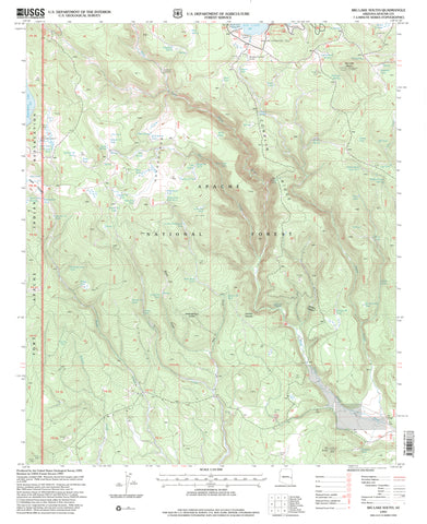
Big Lake South, Arizona (7.5'×7.5' Topographic Quadrangle)
Yuma Surface Management Status 1:100,000-Scale Topographic Map (Arizona BLM 60x30-Minute Quadrangle)
Governors Peak, Arizona / Off-Road Series [Map] Kevin J. Diaz
Adventure iDiaz Maps
$ 22.95
Superstition and Four Peaks Wilderness Areas, Tonto National Forest (Trails Illustrated Map, 851)
National Geographic Maps
$ 16.95
Poland Junction, Arizona / Off-Road Series [Map] Kevin J Diaz
Battle Flat, Arizona / Off-Road Series
Cottonwood, Arizona 7.5'×7.5' 1973 [Map] United States Geological Survey
Wide World Maps & MORE!
$ 18.95 $ 12.95
Valentine Surface Management Status 1:100,000-Scale Topographic Map [Map] Bureau of Land Management Arizona State Office
$ 20.95 $ 17.95
HUTCH MTN, AZ 7.5' 1965 [Map] United States Geological Survey
Chevelon Crossing, Arizona 1998 (7.5'×7.5' Topographic Quadrangle)
Chalk Mountain, Arizona (7.5'×7.5' Topographic Quadrangle)
YOUNG, AZÊ7.5' 2004 [Map] United States Geological Survey
$ 20.95 $ 12.95
Cave Creek, AZÊ7.5' 2004 [Map] United States Geological Survey
Parallel Canyon 7.5' AZ 2004 Map United States Geological Survey
Little Horn Mountains Surface Management Status 1:100,000-Scale Topographic Map (60x30-Minute Quadrangle)
BRANDENBURG MOUNTAIN, AZ 7.5' 1949 PI 1972 [Map] United States Geological Survey
$ 12.95 $ 9.95
Sycamore Point,ÊAZÊ7.5' 1963 PI 1980 [Map] United States Geological Survey
SHOW LOW SOUTH, AZ [Map] United States Geological Survey
SHOW LOW NORTH, AZ [Map] United States Geological Survey

 As Seen On TV


![2019 Superstition and Four Peaks Wilderness Areas [Tonto National Forest] (National Geographic Trails Illustrated Map, 851) - Wide World Maps & MORE! - Map - National Geographic Maps - Wide World Maps & MORE!](http://wide-world-maps-more.myshopify.com/cdn/shop/products/712zPruCv6L_large.jpg?v=1742843593)


![HUTCH MTN, AZ 7.5' 1965 [Map] United States Geological Survey - Wide World Maps & MORE!](http://wide-world-maps-more.myshopify.com/cdn/shop/files/698_large.jpg?v=1744301233)
![CHEVELON CROSSING, AZ 7.5' 1998 [Map] [Jan 01, 2017] United States Geological Survey - Wide World Maps & MORE! - Map - Wide World Maps & MORE! - Wide World Maps & MORE!](http://wide-world-maps-more.myshopify.com/cdn/shop/products/51A0TPnjq2L_large.jpg?v=1744301461)


