Nutrioso 7.5' Quadrangles
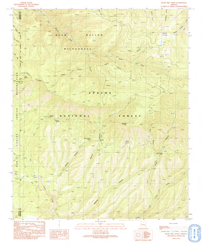
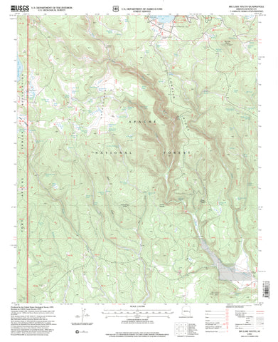
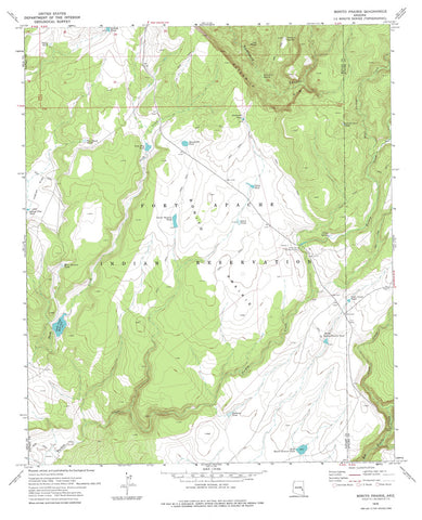
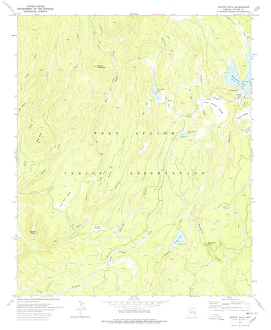
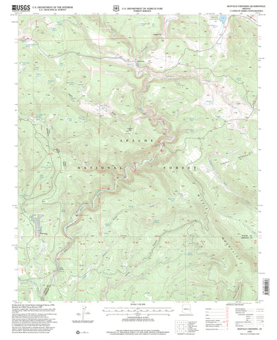
Thirty-two 7.5'×7.5' Topographic Quadrangles (four quadrangles high by eight quadrangles wide) within the area of the Nutrioso 60'×30' Topographic Quadrangle covering:
- Latitude: 34° 00' N to 34° 30' N
- Longitude: 110° 00' W to 109° 00' W

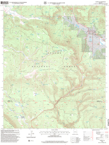
![Baldy Bill Point, Arizona 1997 (7.5'×7.5' Topographic Quadrangle) [Map] United States Geological Survey - Wide World Maps & MORE!](http://wide-world-maps-more.myshopify.com/cdn/shop/files/31CDlIZXeSL_97423d7a-de7d-449a-877e-543c29ce8516_large.jpg?v=1741189019)
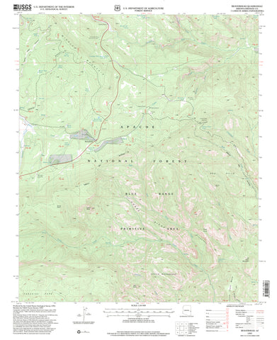
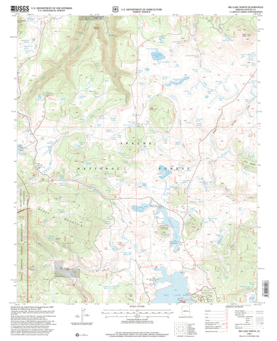
![Blue, AZ-NMÊ7.5' 1997 [Map] United States Geological Survey - Wide World Maps & MORE!](http://wide-world-maps-more.myshopify.com/cdn/shop/files/2143-1997ed_large.jpg?v=1744301677)
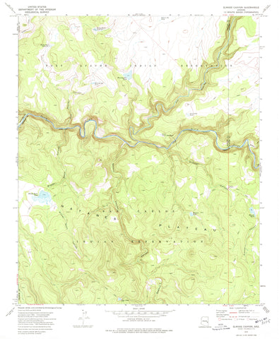
![PIPESTEM MOUNTAIN, AZÊ7.5' 1967 [Map] United States Geological Survey - Wide World Maps & MORE!](http://wide-world-maps-more.myshopify.com/cdn/shop/files/518_large.jpg?v=1744301321)
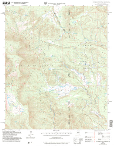
![HANNAGAN MEADOW 7.5' 1997 [Map] United States Geological Survey - Wide World Maps & MORE!](http://wide-world-maps-more.myshopify.com/cdn/shop/files/2300_large.jpg?v=1744301604)
