R.I.P. Robert Molner, founder of Wide World of Maps, Inc.
Date 7.5' AZ 1969 Map United States Geological Survey
United States Department of the Interior
$ 20.95 $ 15.95
Cypress Butte 7.5' AZ [Map] United States Geological Survey
Cooks Mesa, AZÊ7.5' 1967 [Map] United States Geological Survey
$ 20.95 $ 12.95
Cooks Mesa, Arizona (7.5'×7.5' Topographic Quadrangle)
$ 20.95 $ 9.95
Congress Southwest, AZ 7.5' 1969 [Map] United States Geological Survey
Clear Creek Reservoir, AZÊ7.5' 1970 [Map] United States Geological Survey
Citrus Valley West 7.5' 1973 [Map] United States Geological Survey
Wide World Maps & MORE!
CHRYSOTILE, AZ [Map] United States Geological Survey
Chiricahua Peak Surface Management Status 1:100,000-Scale Topographic Map [Map] United States Geological Survey
United States Department of the Interior'
CHERRY, AZÊ7.5' 1973 [Map] United States Geological Survey
Chavez Mtn West, AZ 7.5' [Map] United States Geological Survey
$ 18.95 $ 12.95
CHANDLER HEIGHTS 7.5' UST [Map] United States Geological Survey
TOOTHPICK RIDGE 7.5' [Map] United States Geological Survey
TIGER WELL 7.5' [Map] United States Geological Survey
TAPEATS AMPHITHEATER 7.5' PE 1988 [Map] United States Geological Survey
STAR WELL 7.5' [Map] United States Geological Survey
Squaw Mountain, Arizona 7.5'×7.5' 1989 [Map] United States Geological Survey
CEDAR BASIN 7.5' [Map] United States Geological Survey
PALM CANYON, AZ [Map] United States Geological Survey
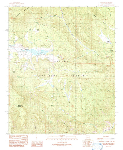
LUNA LAKE 7.5' AZ-NM PE 1991 United States Geological Survey

 As Seen On TV


![Congress Southwest, AZ 7.5' 1969 [Map] United States Geological Survey - Wide World Maps & MORE!](http://wide-world-maps-more.myshopify.com/cdn/shop/files/340_large.jpg?v=1744301440)


![TOOTHPICK RIDGE 7.5' [Map] United States Geological Survey - Wide World Maps & MORE!](http://wide-world-maps-more.myshopify.com/cdn/shop/files/2555_large.jpg?v=1744301503)
![TIGER WELL 7.5' [Map] United States Geological Survey - Wide World Maps & MORE!](http://wide-world-maps-more.myshopify.com/cdn/shop/files/2551_large.jpg?v=1744301504)