R.I.P. Robert Molner, founder of Wide World of Maps, Inc.
Scats and Tracks of the Desert Southwest (Scats and Tracks Series) James Halfpenny and Todd Telander
FalconGuides
$ 17.00
SIGNAL 7.5', Arizona [Map] United Stated Geological Survey
Wide World Maps & MORE!
$ 12.95 $ 9.95
Pusch Ridge Wilderness, Santa Catalina Ranger District, Coronado National Forest, Arizona
United States Department of Agriculture
$ 44.95 $ 28.95
Rawhide Wash, Arizona 1990 (7.5'×7.5' Topographic Quadrangle)
United States Department of the Interior
$ 20.95 $ 15.95
Phoenix South, Arizona Surface Management Status [Unknown Binding] Bureau of Land Management
PALMERITA RANCH, Arizona 7.5' [Map] United Stated Geological Survey
$ 20.95
Map Showing Location of Placer Gold Deposits in Arizona Paper, Non-Laminated [Map] M. G. Johnson
$ 25.95
Long Valley, Arizona (7.5'×7.5' Topographic Quadrangle)
MALPAIS MESA SW 7.5' Arizona Map United States Geological Survey
$ 20.95 $ 12.95
Jaycox Mountain, Arizona (7.5'×7.5' Topographic Quadrangle)
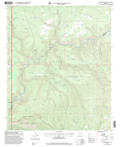
Hoodoo Knoll, Arizona 1997 (7.5'×7.5' Topographic Quadrangle)
$ 20.95 $ 9.95
Hummingbird Spring, Arizona 7.5'×7.5' 1990 [Map] United States Geological Survey
Groom Creek, Arizona 1974 (7.5'×7.5' Topographic Quadrangle)
Grand Canyon West, Grand Canyon National Park (Trails Illustrated Map 263)
National Geographic Maps
$ 16.95
Flagstaff Surface Management Status 1:100,000-Scale Topographic Map (Arizona) [Map] Bureau of Land Management
Garfias Mountain, Arizona 1964 (7.5'×7.5' Topographic Quadrangle)
Easy Field Guide to Rock Art Symbols of the Southwest (Easy Field Guides)
Primer Publishers
$ 4.95
Eagletail Mountains West 7.5' AZ Map United States Geological Survey
California, North Ghost;Towns 6 Maps Then & Now [Map] Northwest Distributors
Northwest Distributors
Black Canyon National Recreation Trails Map - Arizona Black Canyon Trail Coalition
Emmitt Barks Cartography
$ 17.95

 As Seen On TV


![JAYCOX MTN, AZ 7.5' 1970 [Map] [Jan 01, 2017] United States Geological Survey - Wide World Maps & MORE! - Map - Wide World Maps & MORE! - Wide World Maps & MORE!](http://wide-world-maps-more.myshopify.com/cdn/shop/products/715_large.jpg?v=1744301225)


![Garfias Mountain, Arizona 1964 (7.5'×7.5' Topographic Quadrangle) [Map] United States Geological Survey - Wide World Maps & MORE!](http://wide-world-maps-more.myshopify.com/cdn/shop/files/532_large.jpg?v=1744301314)

![Eagletail Mountains West 7.5' [Map] United States Geological Survey - Wide World Maps & MORE!](http://wide-world-maps-more.myshopify.com/cdn/shop/files/2247_large.jpg?v=1744301628)

