MyTopo
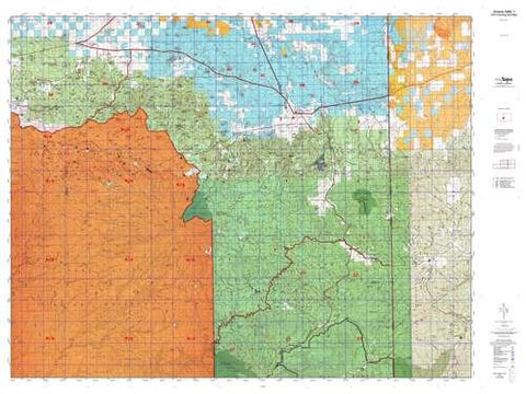
Arizona GMU 02B Hunt Area / Game Management Unit (GMU) Map
Arizona GMU 2B, Hunting Unit Map, 36" × 48"
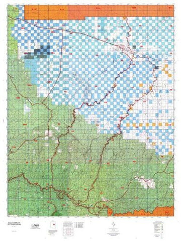
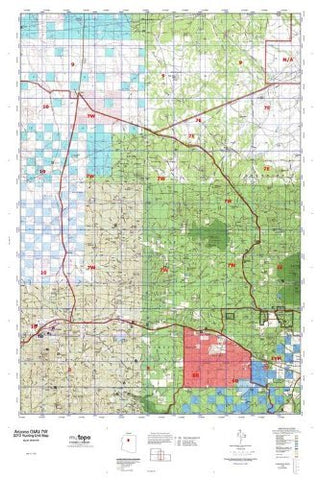
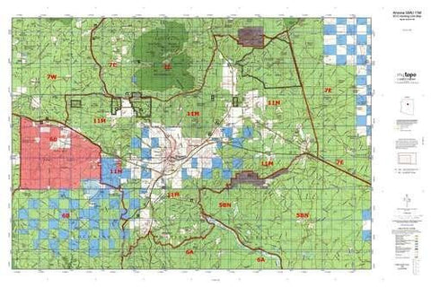
MyTopo Hunt Area / Game Management Unit (GMU) Maps are 1:100,000-scale maps using the Bureau of Land Management Land Status base maps. These maps include public land ownership boundaries, topography, roads, and key terrain features. The selected State hunt unit or game management unit boundary is overlaid on the BLM base.
New Road Updates: MyTopo GMU maps now contain updated National Forest and public land roads sourced directly from the US Forest Service and other government agencies.
New Tank and Water Source Locations: Arizona GMU maps show official Arizona Game and Fish water source locations (tanks, reservoirs, and springs).
This topographic surface management map covers all of AZ Game Managment Unit 2B. It has been assembled using USGS and BLM mapping data with a red game management unit boundary overprint. It features surface management data, varying topographic contour intervals, as well as lat/long and UTM grid coordinates.
- Waterproof paper, one-sided folding map.
- Scale: 1:100,000
- Species: All.
- Map Size: 36" × 48"
- Hunting unit map of Arizona Game Management Unit 2B with topographic lines and unit boundaries. This topo map features UTM / MGRS and Latitude/Longitude grids, plus public land ownership. It comes folded on waterproof paper.
- This map contains the following named places: 85936, 85938, Agua Fria Creek, Aguaje Draw, Alamo Wash, Amado Windmill, Apache and Sitgraves Forests Supervisor Office, Apache County Fairgrounds, Atarque Lake, Atascocita Draw, Athletic Dome, Badlands, Barelas Windmill, Barth Lake, Becker Lake, Becker Reservoir Dam, Big Hollow Wash, Big Lake, Black Ridge, Blanco Canyon, Boney Lake, Bonito Valle, Boynton Lake, Boynton Lake Dam, Brockman Ranch, Brown Wash, Burnt Knoll, Cantaralo Windmill, Carnero Creek, Carnero Lake, Carrizo Wash, Carter Windmill, Casa Malpais Campground, Casa Malpais Site, CC Fireman Cabin, CC Forest Service Facility, CC Lake, Cedar Lake Reservoir, Cedar Lake Wash, Cerro Hueco, Cerro la Mula, Cerro Montoso, Cerro Quemado, Cerro Trigo, Chalk Windmill, Chavez Ranch, Cheap John Lake, Cheney Lake, Cheyney Lake, Chical Lake, Chihuahua Lake, Chimney Wash, Cienega Amarilla, Cienega Draw, Cimarron Mesa, Circle Butte, City of Saint Johns, Concho, Concho Creek, Concho Lake, Concho Spring Knoll, Concho Springs Dam, Concho Valley Country Club Golf Course, Coon Mountain, Coronado Generating Station Dam, Cottonwood Canyon, Cout Lake, Cow Springs Windmill, Coyote Creek, Coyote Hills, Coyote Ranch, Crow Windmill, Davies Place, Deep Windmill, Dent Windmill, Dutch Lakes, Eagar, Eagar Arena and Event Center, East Windmill, El Tule, Fort Atarque Ruins, Franciscan Windmill, Garris Knoll, Gatlin Lake, Goat Detention Dam One, Goat Detention Dam Two, Goesling Ranch, Goude Ranch, Green Spot, Greens Peak, Greer Lakes Golf Resort, Greer Place, Gust Reservoir, Halls Ranch, Hardscrabble Wash, Harris Lake, Hayrock Ranch, Heap Place, Hinkson High Lonesome Windmill, Hinkson Ranch Pueblo Historic Site, Hunt, Jaralosa Draw, Jaralosa Pueblo Historic Site, Jaralosa Windmill, Jarvis Wash, Jercka Lake, Juan Garcia Mountain, Kearn Lake, Laguna Abel, Largo Creek, Layton Detention Dam Number 4, Leon Windmill, Little Ortega Lake, Little Reservoir, Long Dike, Long H Ranch, Long Lake, Lower Lyman Ditch, Lujan Windmill, Lunas Lake, Lyman Dam, Lyman Ditch, Lyman Lake, Lyman Lake Marina, Lyman Lake State Park, Lynch Ranch, Mallory Draw, Manuelito Place, Marion Haws Draw, Mayes Wash, Mazon Camp, Meadow Wash, Mesa Parada, Mesita Blanca, Mesita Blanca Wilderness Study Area, Middle Lyman Ditch, Mineral Creek, Mineral Ditch, Mireles Windmill, Mormon Hill, Negro Knob, New Windmill, North Mountain, Nutrioso Creek, Ojo Caliente, Ojo Caliente Lake Dam, Ojo Caliente Reservoir, Ortega Sink, Perea Dam, Perry Lake, Picnic Creek, Pie Mesa, Piedres Lumbres, Pine Springs Wash, Platts Windmill, Plumasano Basin, Plumasano Wash, Potter Mesa, Potter Place, Potter Place Draw, Potter Windmill, Pueblo Windmill, Puerco Division, Puerco Ridge, Ray Windmill, Red Cabin, Red Flat Wash, Red Hill, Red Hill Detention Dam Number 2, Red Hill Detention Dam Number 3, Red Hill Detention Dam Number One, Red Lake, Red Mesa, Richey Pit, Richville, Rincon Camp, Rincon Hondo, Rock House Windmill, Rock Pit, Rogers Lake, Roundtree Windmills, Ruvi Pit, Saint Johns, Saint Johns City Park, Saint Johns Division, Saint Johns Stake Welfare Ranch, Saint Peters Dome, Salado, Sandoval Windmill, Scraper Knoll, Sepulveda Creek, Smooth Knoll, Soda Lake, Sorenson Lake, Sorrel Horse Mesa, South Mountain, Springerville, Springerville Forest Service Facility, Stinking Springs Mountain, Straddling Lake, Surprise Valley, The Aztec, The Cienega, The Point, The Rincon, Thode Cabin, Town of Springerville, Twentyfour Ranch, Twin Buttes, Upper Lyman Ditch, Valle Redondo Trailer Park, Venadito Draw, Venadito Windmill, Venedito Camp, Vicente Baca Windmill, Vigil Run, Voigt Ranch, Volcanic Mountain, Water Canyon Creek, West Camp, West Joe Windmill, White Corral Windmills, Whiting Homestead, Whiting Knoll, Wild Cow Lake, Wildcat Creek, Willow Wash, Windmill Number 9, Wiregrass Lake, Witch Well Ranch, Witch Well Trading Post, Woods Lake, Zion Dam, Zion Reservoir, and Zuni Plateau


